Charles Booth’s London
Built for LSE and Lancaster University
Mapping the Archive.


History
Education
Culture
The Charles Booth Poverty Maps are a landmark social and economic survey of London that showed for the first time how much of London’s population was living in abject poverty. These maps sparked a revolution in social research and ultimately contributed to the development of the UK’s welfare state. And yet, not many people have seen or even heard of them.
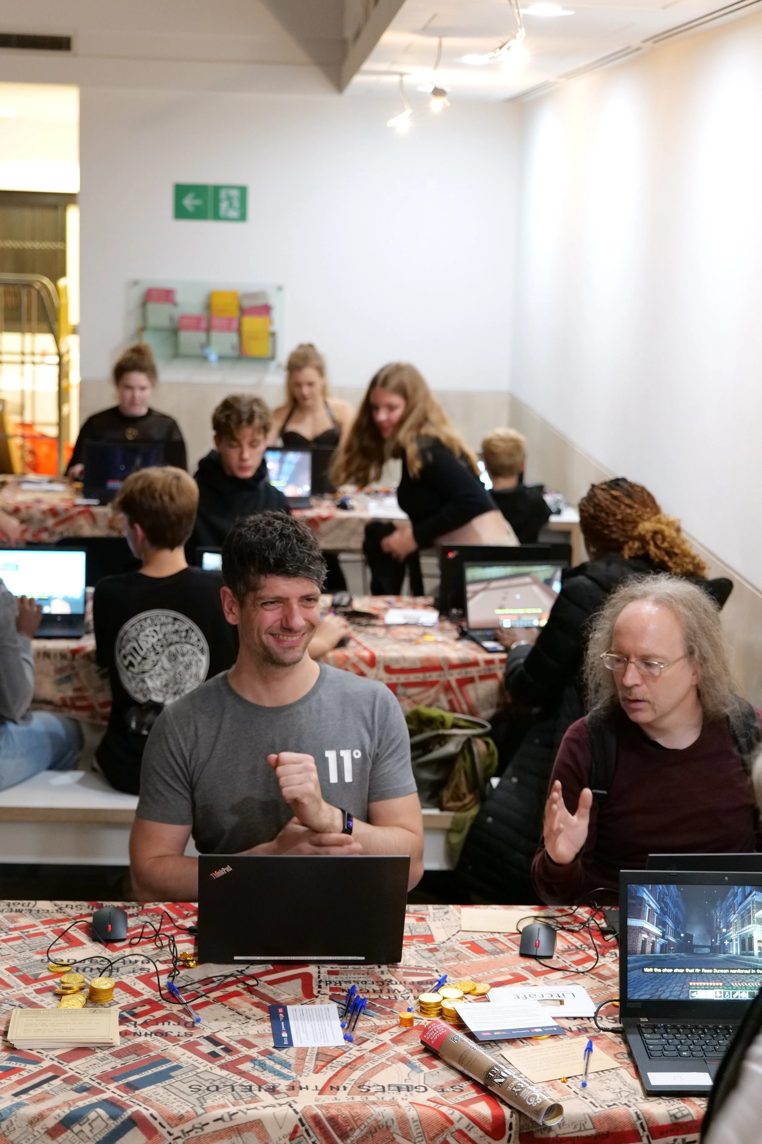
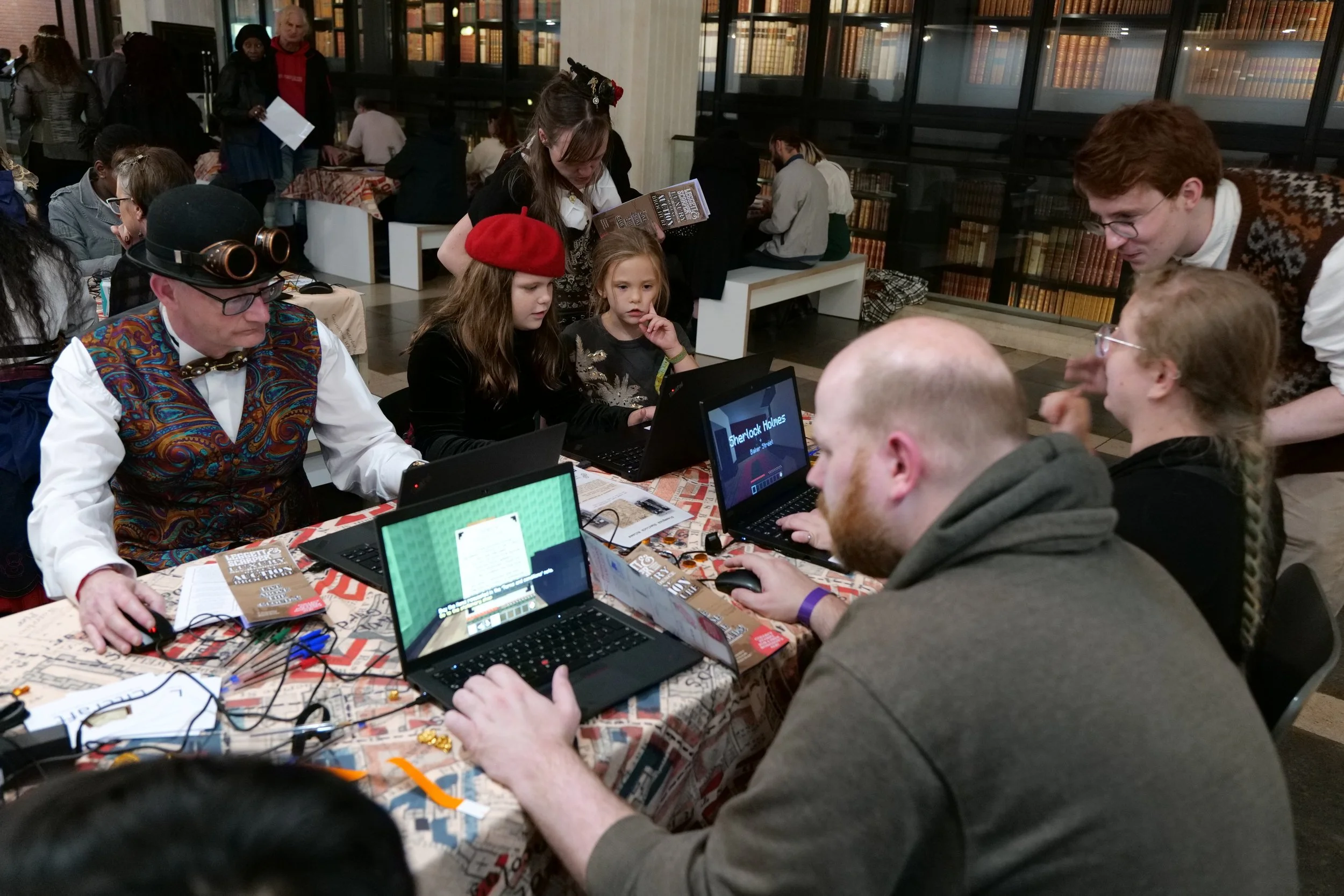
Working with researchers at LSE, Lancaster University and the British Library, we developed a digital twin of the Poverty Maps inside Minecraft. This digital twin allows players to walk through the maps, built at a human scale, and see of all the annotations and details made by their creator.
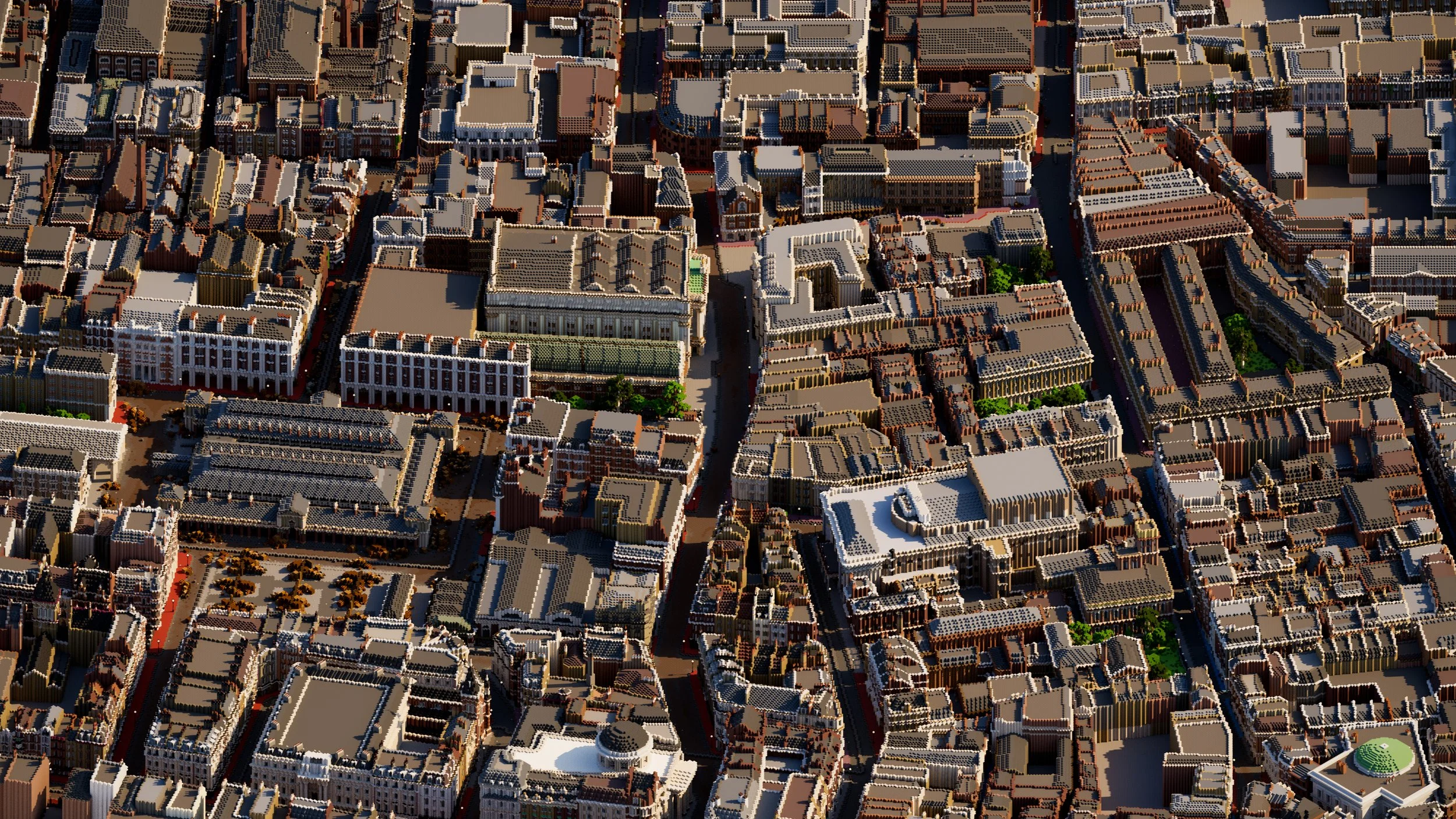
The world is made up of over 45 million blocks, and 1000 new textures and blocks were added to create an accurate Victorian atmosphere, including different varieties of London brick and wooden paving from Houghton Street.